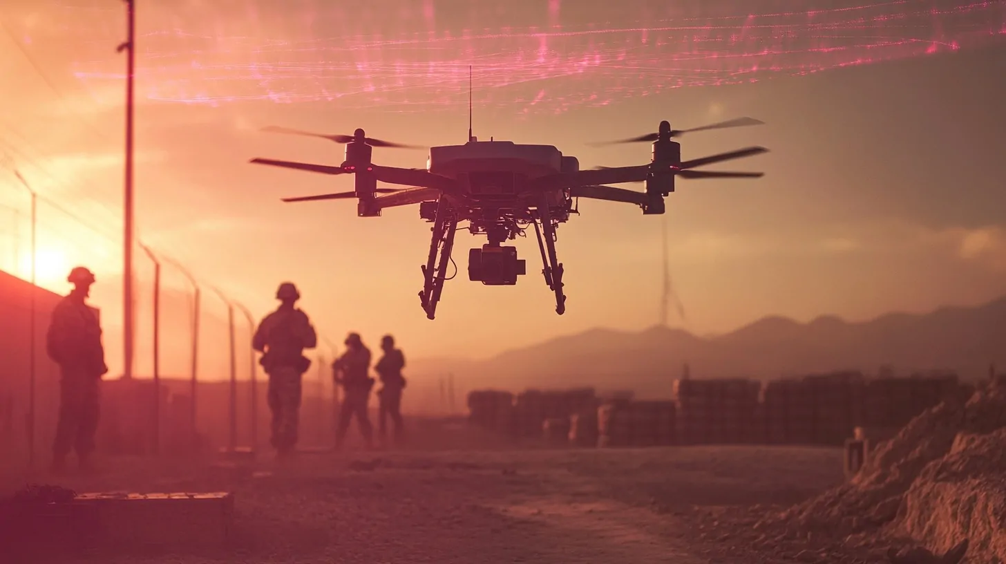
Unmanned Aerial Vehicle (UAV) LiDAR combines the precision of Light Detection and Ranging (LiDAR) technology with the mobility of UAVs.
The integration allows for high-resolution geospatial mapping and reconnaissance. It is vital in military operations because it delivers accurate real-time terrain and intelligence data.
The tactical edge provided by UAV LiDAR ensures safer and more effective planning and execution in complex environments.
Let us take a look at what we know about military UAV LiDAR.
How Does UAV LiDAR Work?
UAV LiDAR technology uses laser pulses to measure distances between the sensor and surface objects. Each pulse reflects off surfaces and returns to the sensor, capturing precise distance data.
These interactions form highly detailed 3D point clouds that reveal the contours, textures, and elevations of the scanned area.
- LiDAR Sensor: Emits laser pulses and collects reflected signals.
- GNSS Receiver: Ensures accurate geospatial positioning by tracking the UAV’s location during flight.
- Inertial Measurement Unit (IMU): Monitors the UAV’s orientation, speed, and movement to maintain consistent data accuracy.
Together, these components achieve centimeter-level precision, allowing for thorough analysis of complex environments.
UAVs equipped with LiDAR can cover vast areas quickly, making the system ideal for real-time data collection and analysis in military operations.
“SOAR” #LiDAR-UAV System Promises to Transform Military and Civilian Applications with Faster, Smarter 3D Aerial Reconnaissancehttps://t.co/qLvhxN8YqM
— Rudy Burger (@rudyburger) October 12, 2024
Comparison with Traditional Mapping Methods
- Precision Through Vegetation: Unlike traditional systems, LiDAR can penetrate tree canopies and other vegetation to capture ground-level details.
- Usability in Adverse Conditions: It performs effectively in low-light or cloudy conditions, where visual imaging may fail.
- Time Efficiency: UAV LiDAR collects data faster than airborne or ground-based systems, enabling rapid deployment for time-sensitive operations.
- Distance Measurement: Unlike photogrammetry, which depends on image processing, LiDAR calculates exact distances using laser pulses.
These attributes make UAV LiDAR an indispensable tool in military reconnaissance and mapping, offering reliable and detailed results even in challenging conditions.
Key Applications in Battlefield Intelligence
Now, let us take a look at some of the key applications of drone LiDAR tech and its applications in battlefield intelligence.
Mapping and Terrain Analysis
UAV LiDAR technology plays a crucial role in creating highly detailed Digital Terrain Models (DTMs) and Digital Surface Models (DSMs).
These models are indispensable for operational planning, offering precise data about elevation, surface irregularities, and vegetation cover.
With the ability to process real-time data, military planners gain a clear picture of potential obstacles, ideal movement paths, and advantageous positions for troops and equipment deployment.
- Digital Terrain Models (DTMs): Provide ground-level representations by filtering out vegetation and man-made objects.
- Digital Surface Models (DSMs): Include all surface elements, such as trees and buildings, aiding in understanding obstacles and cover.
- Real-time updates: Critical for adapting strategies during ongoing operations.
Hazard Identification and Safety
LiDAR technology excels in detecting hidden dangers such as landmines, unexploded ordnance, and hazardous debris.
By penetrating dense vegetation, it identifies threats that traditional visual reconnaissance often misses.
UAVs equipped with LiDAR can access hard-to-reach areas, such as dense forests, rugged mountains, or conflict-heavy zones, without putting personnel in harm’s way.
- Landmine detection: Aids in clearing routes for safe troop movement.
- Hazard assessment: Identifies threats in inaccessible or dangerous regions.
- Risk reduction: Minimizes exposure of military personnel to dangerous environments.
This use of UAV LiDAR ensures mission readiness and the safety of ground forces operating in volatile areas.
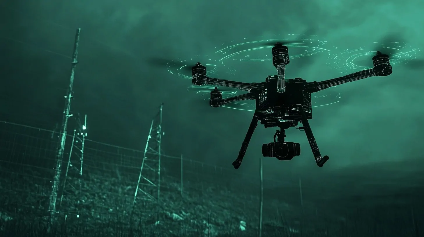
Surveillance and Reconnaissance
High-resolution LiDAR systems allow for precise and effective monitoring of enemy activities.
UAVs can patrol wide areas undetected, capturing detailed information about movement patterns, infrastructure, and troop positions.
When combined with thermal or optical sensors, the capability of UAV LiDAR expands significantly, providing actionable intelligence for real-time tactical decisions.
- Enemy tracking: Detects and monitors troop and vehicle movement.
- Infrastructure analysis: Gathers intelligence on roads, bridges, and enemy installations.
- Sensor integration: Works with thermal or optical systems to provide multi-layered intelligence.
What are the Advantages?
The advantages of UAV LiDAR in military operations make it one of the most important techs we use in modern warfare.
Precision and Accuracy
UAV LiDAR systems provide highly detailed data with centimeter-level accuracy, making them indispensable for mapping and reconnaissance in military operations.
The precision allows users to detect and analyze even subtle changes in terrain, which can be critical for strategic planning.
The ability to penetrate dense vegetation and other obstructions ensures accurate ground-level analysis, helping identify potential hazards or hidden structures.
- Generation of detailed 3D point clouds for terrain mapping.
- Accurate detection of elevation changes and obstacles.
- Ability to assess vegetation density and ground structure simultaneously.
This level of accuracy is especially beneficial in environments where traditional methods might fail, such as dense forests, rugged terrains, or urban areas with complex structures.
Efficiency and Flexibility
UAV LiDAR systems enable faster and more flexible data collection compared to traditional ground or airborne methods.
These systems can cover large areas quickly, reducing operational times and costs.
Their ability to function under varying weather and light conditions ensures uninterrupted performance, even during critical missions.
- Rapid deployment in time-sensitive scenarios.
- Reduced manpower requirements compared to ground-based surveys.
- Capability to operate during day or night, in cloudy or low-light settings.
By adapting to changing conditions and operational demands, UAV LiDAR ensures that military teams can gather vital information without unnecessary delays.
Safety Enhancements
One of the most significant advantages of UAV LiDAR is the increased safety it provides by reducing personnel exposure to high-risk zones.
UAVs can survey dangerous areas, such as conflict zones or hazardous terrains, without putting human lives at risk.
The non-intrusive nature of these systems also minimizes the chances of detection in sensitive operations.
- Deployment in areas with active threats, such as minefields or enemy-occupied zones.
- Elimination of the need for physical presence in dangerous environments.
- Ability to conduct reconnaissance in highly contested areas while maintaining a low profile.
The use of UAV LiDAR for such operations ensures not only efficiency but also a commitment to preserving human life during military missions.
How About Challenges and Limitations?
It must be said that there are several challenges and limitations this technology faces on the battlefield.
Technical Constraints
UAV LiDAR systems face notable technical challenges that can impact their performance and utility in military operations.
One key limitation is the restricted payload capacity of UAVs, which directly affects the size and type of LiDAR sensors that can be carried.
Larger, more advanced LiDAR sensors often provide greater accuracy and range but may be too heavy for many UAV platforms. Similarly, limited flight altitude reduces the coverage area, requiring more flights to map extensive zones, which increases the time and operational costs.
Processing LiDAR data presents another significant hurdle. The creation of accurate 3D point clouds and models demands advanced computational software, which is not only expensive but also requires skilled operators for proper analysis.
Data processing delays can reduce the efficiency of real-time applications, which are often critical in military settings.
- Payload restrictions limit the use of high-performance sensors.
- Lower flight altitude necessitates multiple sorties for large-scale mapping.
- High reliance on advanced software and skilled personnel for processing data.
Operational Challenges
Operational risks are inherent in the deployment of UAV LiDAR systems, particularly in high-conflict or electronically hostile environments. UAVs are vulnerable to electronic warfare tactics, such as jamming or GPS spoofing, which can disrupt navigation and communication systems.
This vulnerability makes them less reliable in adversarial settings where electronic countermeasures are prevalent.
The financial aspect also presents a barrier. High costs associated with acquiring, maintaining, and deploying UAV LiDAR systems limit their accessibility. Budget constraints can reduce the availability of replacement parts, regular system updates, or training programs for personnel.
Additionally, harsh environmental conditions, such as extreme temperatures or strong winds, can affect the operational reliability of UAVs.
- Susceptibility to electronic jamming and interference.
- High acquisition and maintenance costs.
- Environmental factors impacting UAV performance.
- Need for constant system upgrades and operator training.
By addressing these challenges through advancements in technology and strategic planning, UAV LiDAR systems can reach their full operational potential, especially in military applications.
The UAV That Struck Tel Aviv: A Tiebreaking Weapon?
INSS researcher, Dr. Yehoshua Kalisky, writes:
The UAV sent by the Houthis, which struck a residential building in Tel Aviv on Thursday night is another step in the war of attrition by the Iranian axis of resistance against… pic.twitter.com/xb45qYspvR
— INSS (@INSSIsrael) July 21, 2024
The Bottom Line
UAV LiDAR has revolutionized military intelligence with its precise, real-time capabilities.
Its role in improving safety and operational efficiency underscores its value in modern warfare.
Continued advancements will further cement its significance in achieving tactical and strategic objectives.